
Last updated: October 2026 · Checked against Highway Code
Ring Road Sign: meaning, rules and what to do
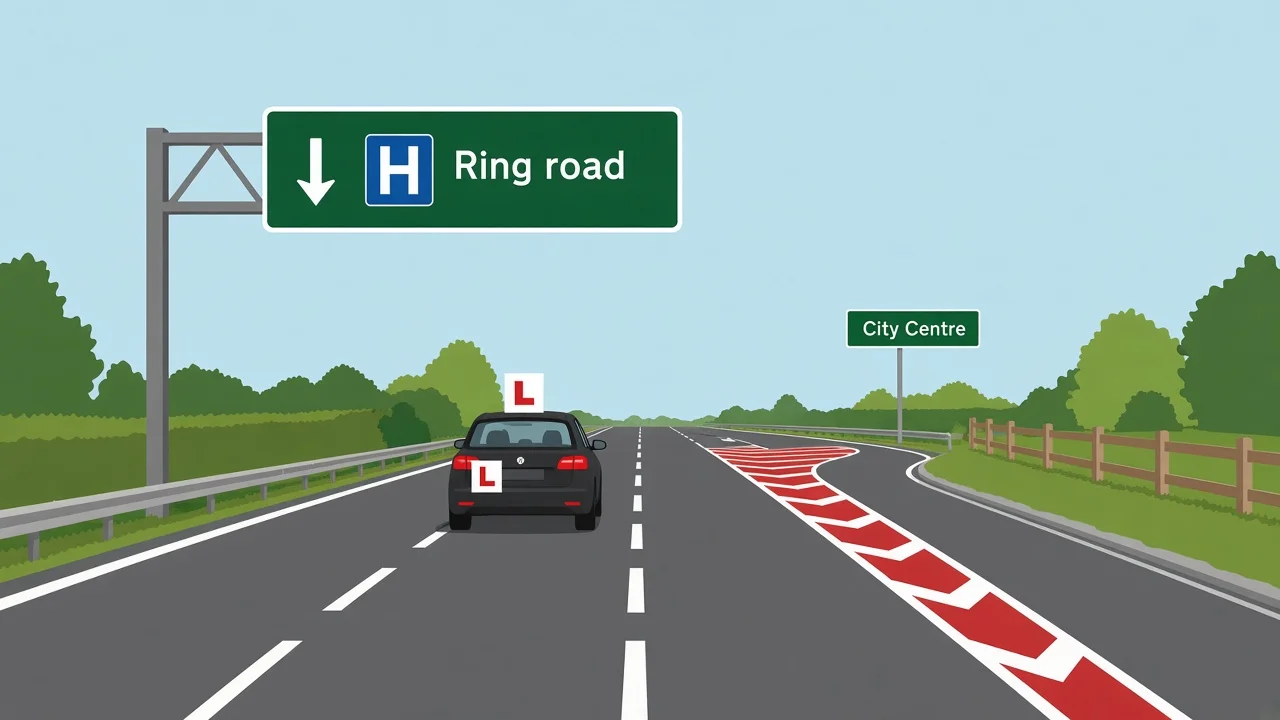
Direction panels that name a ring road tell you to stay on the orbital carriageway around a town or city core, using green primary arms or white local boards with arrows that split centre traffic from through routes.
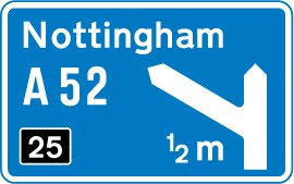
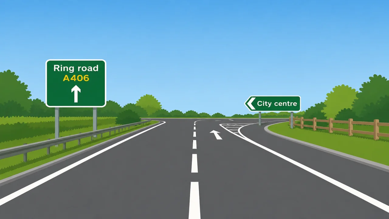
Sign image © Crown copyright, reproduced from GOV.UK traffic sign images under the Open Government Licence v3.0.
What the Ring road Sign Looks Like
GOV.UK catalogue diagram 2203 shows the familiar direction layout: a horizontal rectangle with place names, route patches, and lane arrows. On primary sections the background is green with white lettering; on many urban orbitals the same wording appears in black on white beside hospital, station, and park-and-ride names.
The legend usually reads “Ring road” in full rather than a pictogram alone, though some authorities add a small orbital symbol on newer gantries. Yellow number patches carry A-road designations such as A58 or A405, which may continue for miles while the place list changes at each fork.
Chevrons and overhead arrows sit above dual sections where two exits compete within a few hundred metres. Repeaters face traffic after slip roads merge, because late joiners often miss the first panel. Temporary yellow diversion boards may reuse the orbital name when one quadrant closes for works.
The plate is not a red warning triangle, not a blue motorway panel, and not a brown tourist board. If only a number appears without the word, treat the yellow patch and arrow direction as your clue, especially at night when rain blurs distant legends.
Inner and outer loops sometimes appear on separate arms at the same gantry. One board may name “Inner ring” while another lists “Outer ring” or a distinct number. Read every arm before you merge, because the shorter inner arc is not always the arm with the word you expect.
Bypass panels describe routes around a single town rather than a full orbital. Motorway direction signs use blue with M numbers. Non-primary white boards list estates and suburbs without claiming the strategic loop. The ring road legend marks stay-on-orbit navigation, not a regulatory speed order or a mandatory bus gate.
What the Ring Road Sign Means
Highway authorities label orbitals so drivers can reach another radial without threading a congested core. The panel appears where you must choose between “City centre”, a named suburb, and the continuing loop.
Rule 143 in The Highway Code expects you to plan ahead and read direction signs in good time. On busy orbitals that means selecting lane two or three before solid white hatchings appear, especially when stadium traffic or roadworks compress decision distance.
Clockwise and anticlockwise wording appears on maps more often than on signs. On the carriageway you follow the next junction name and route number. Trust the board ahead rather than memory from an old sat-nav file, because councils renumber after upgrades.
Orbital driving still obeys ordinary speed limits, bus lanes, clearways, and clean-air zones inside the loop. The label describes route function, not permission to stop on the main carriageway or to use a camera-enforced nearside lane.
Leeds, Birmingham, Nottingham, and Bristol each combine inner relief roads with longer outer distributors. Missing the inner arc may still reach your destination via the outer loop, but you can add time if you needed a hospital or station signed only from the inner carriageway.
Grade-separated forks feel motorway-like for a mile, then return to urban roundabouts. Background colour may flip from green to white when the strategic number steps down to a local distributor. Each panel is a fresh decision, not a single straight motorway.
HGVs and coaches need earlier merges because slips are long and mirrors hide nearside filters. Learners should rehearse calling out place names aloud on lessons, because examiners reward steady lane discipline more than late heroics at the gore.
Theory items seldom quote diagram numbers aloud; they crop a gantry graphic and ask which arm keeps you on the orbital. Practical tests on city fringes often include one complex fork even when the rest of the route is quiet residential streets.
Count exits if that helps, but always cross-check the place name on the arm. Two “Ring road” arrows on one structure can point to inner and outer streams with different numbers.
Sat-nav speech may say “ring road” while the screen shows a thin grey line through pedestrianised streets. Overhead direction boards remain the ground truth at every fork.
Congestion charging and emissions zones often sit inside the loop while green panels guide through traffic around them. Pay any zone fee even when arrows suggest a bypass; navigation signs do not override charging orders.
During match days or concerts, police may close one quadrant. Follow yellow diversion symbols, then rejoin the numbered orbital when a repeater confirms your route patch again.
If you miss an exit, continue to the next junction rather than reversing on the live carriageway. One extra lap is safer than a failed practical test weave across hatched paint.
Winter sun low on the horizon can wash out green faces. Dip the visor and ease speed slightly so repeaters after a blind crest remain readable.
Pair revision with non-primary white boards, because many Yorkshire orbitals mix green primary arms with white local lists on the same gantry.
Before the theory test, run timed mocks that include navigation graphics. Flag any item you guessed, then reread Highway Code guidance on direction signs so orbital logic feels automatic.
Sat-nav apps may say "ring road" in speech without showing the same wording on the screen. Cross-check overhead direction signs at every fork because inner relief roads can look similar on a small phone map.
Congestion charging and clean air zones often sit inside the loop while green panels guide through traffic around them. Pay any zone fee even when you follow orbital arrows; the direction sign does not exempt you from charging orders.
Highway Code rules 142 to 144 (direction signs and planning)
Ring road vs Similar Signs
| Sign | Meaning | Legal or warning? |
|---|---|---|
| Ring road panel | Stay on the orbital route around the core | Direction (green or white) |
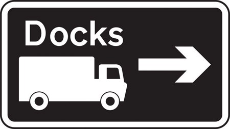 Non-primary direction | Local suburbs on white boards | Direction (white) |
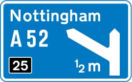 Primary route direction | Strategic A-road on green | Direction (green) |
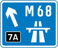 Motorway direction | M-number link on blue | Direction (blue) |
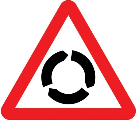 Roundabout ahead | Warning before major orbital junction | Warning triangle |
Rules and Penalties
Choosing the wrong arm is not a fixed penalty offence, but careless lane changes across hatched areas can attract police attention when following traffic brakes hard.
Using a bus lane or hard shoulder to recover a missed slip can produce fines where cameras operate. Orbital bus lanes stay enforced even when through traffic is light.
Stopping on a live orbital carriageway to read a map breaches clearway and red-route rules on many radials. Use a signed lay-by or leave at the next lawful exit.
Theory papers test lane logic and colour grammar rather than fine schedules. Practical examiners note panic merges before gantry splits even when no prohibition sign was ignored.
Dashcam footage of a legible green panel does not excuse a later give-way violation at a slip mouth. Navigation boards and priority lines stack as separate orders.
Check the latest theory test pass mark and book when you are ready via our booking guide.
Ring road in Practice
Liam is on a Wednesday evening lesson with his instructor, approaching the Leeds inner ring from the A61 north of the city. Traffic is steady, and a gantry lists three arms: white text names the university quarter on a local filter, the middle lane shows “Ring road” with an A58 patch straight ahead, and the right lane points toward the city centre.
Two hundred metres earlier Liam read the panel aloud and held the middle lane while the broken white line still allowed a calm merge. He checked the offside mirror for a bus that might hide a nearside filter, then kept thirty miles per hour rather than braking late at the gore.
His instructor asks what would happen if he followed the centre arm. Liam explains he would drop into one-way streets and bus gates under the core, adding time even though the sat-nav still says “continue on orbital”. Staying with the A58 ring matches the board that names the loop.
At the next fork a repeater confirms the yellow patch still applies, while a white arm lists Meanwood and Headingley without claiming the through link. Liam does not chase a hatchback that swerves right at the last moment; he stays with the posted orbital until a later board names his exit toward the test centre.
On the return leg they pass the same gantry from the opposite carriageway. Liam tells his instructor that inbound arrows mirror outbound names, and that missing this split would mean continuing to the next roundabout rather than reversing on the dual section. Calm early lane choice is what examiners expect on inner-ring lessons.
How This Sign Appears on the Theory Test
Navigation items show green or white direction boards with several destinations. Select the arm whose arrow lists the orbital name and matching route number when the stem asks you to bypass the centre.
Distractors swap in blue motorway panels, brown tourist signs, and red-circle prohibitions. Read background colour before you tap an answer.
Some stems describe a driver who follows a queue into the city-centre lane while the question wanted the loop. The safe pattern moves early using posted arrows, not panic weaving at the gore.
Car candidates need forty-three correct answers from fifty questions within fifty-seven minutes. Practise gantry graphics on a free mock so one complex board does not consume half the exam.
Hazard perception clips may show late lane changes before orbital splits. Click when brake lights cluster because a driver swerved for a missed exit, not when a distant gantry first appears.
Picture questions may crop the board to the route number alone. Identify the direction family and pick the arm that keeps the same yellow patch continuing around the core.
Take a free mock theory test and filter questions on road and traffic signs. Pair that with the warning signs guide for triangle symbols.
Related Road Signs
Test Yourself on UK Road Signs
Orbital panels are everyday navigation: read every arm, trust the route number when rain blurs the name, and move lanes before hatchings tighten. Recognising ring-road direction boards keeps theory graphics straightforward and saves stressful laps around city cores on practical lessons. A free mock theory test helps you practise green-and-white gantry logic under time pressure.
Frequently Asked Questions
What does a ring road direction panel tell you?
It marks the carriageway that loops around the town or city centre so you can stay on the orbital link instead of cutting through the core, usually with a route number and through arrow.
Is the panel green or white?
Both appear in the UK. Green with white text is common on primary orbital sections; black on white lists local places on many urban loops, sometimes on the same gantry as a green arm.
How is an inner ring different from an outer ring?
The inner loop hugs the core on relief roads, while the outer loop sits farther out on distributors. Boards may name each separately or use different route numbers, so read every arm at the fork.
Does staying on the orbital avoid clean-air zones?
Not automatically. Charging and emissions zones may still apply inside the loop or on radials. Follow direction signs for route choice and read separate zone plates for payment rules.
Will the theory test show ring road panels?
Questions usually test direction-sign recognition and lane choice using orbital graphics. Learn colour grammar and arrow logic rather than memorising one city map.